
LIVING COASTAL
Living Coastal: EXPLORING COASTLINE CHANGES IN SAINT JOHN
As a coastal city, Saint John is familiar with the challenges associated with coastal erosion. Climate change will contribute to erosional forces, exacerbating existing issues and putting infrastructure like roadways and utilities at risk. This short video can provide an overview of the challenges facing the Saint John region.
RESEARCH
In 2021 ACAP Saint John conducted field assessments at 10 sites around the city to create a baseline of shoreline conditions that can be used in future monitoring. The assessments identify key infrastructure, protective installations, vegetation, areas of erosion, and more. These observations and recommendations can be used to inform future projects, partnerships, and adaptation planning to build resilience to climate change in the region. The findings can be explored in the report below.

Map of the sites assessed in the Living Coastal project including (1) Mispec Beach, (2) Anthony’s Cove, (3) Red Head, (4) Hazen Creek, (5) Bayshore Beach, (6) Duck Cove, (7) McLarens Beach, (8) Sheldon Point, (9) Lorneville Cove 1, and (10) Lorneville Cove 2.
Overall, the stability of coastlines around Saint John was variable. Protection measures have been put in place where stability is reduced significantly however the observations suggest that protective installations may not be fully effective to keep infrastructure safe, encouraging contemporary adaptation options such as living shorelines. The living shorelines approach is a nature-based strategy to slow erosion while also restoring coastal habitat. Research and pilot projects are being completed around the Maritimes to demonstrate the effectiveness of this approach compared to the traditional hard infrastructure protection like riprap and seawalls.
The Living Coastal report including an overview of coastal erosion, the role of climate change, historical analysis, detailed site assessments, and adaptation information. The recommendations highlight the need for partnerships and collaboration between the municipality, the province, consultants, and private land owners.
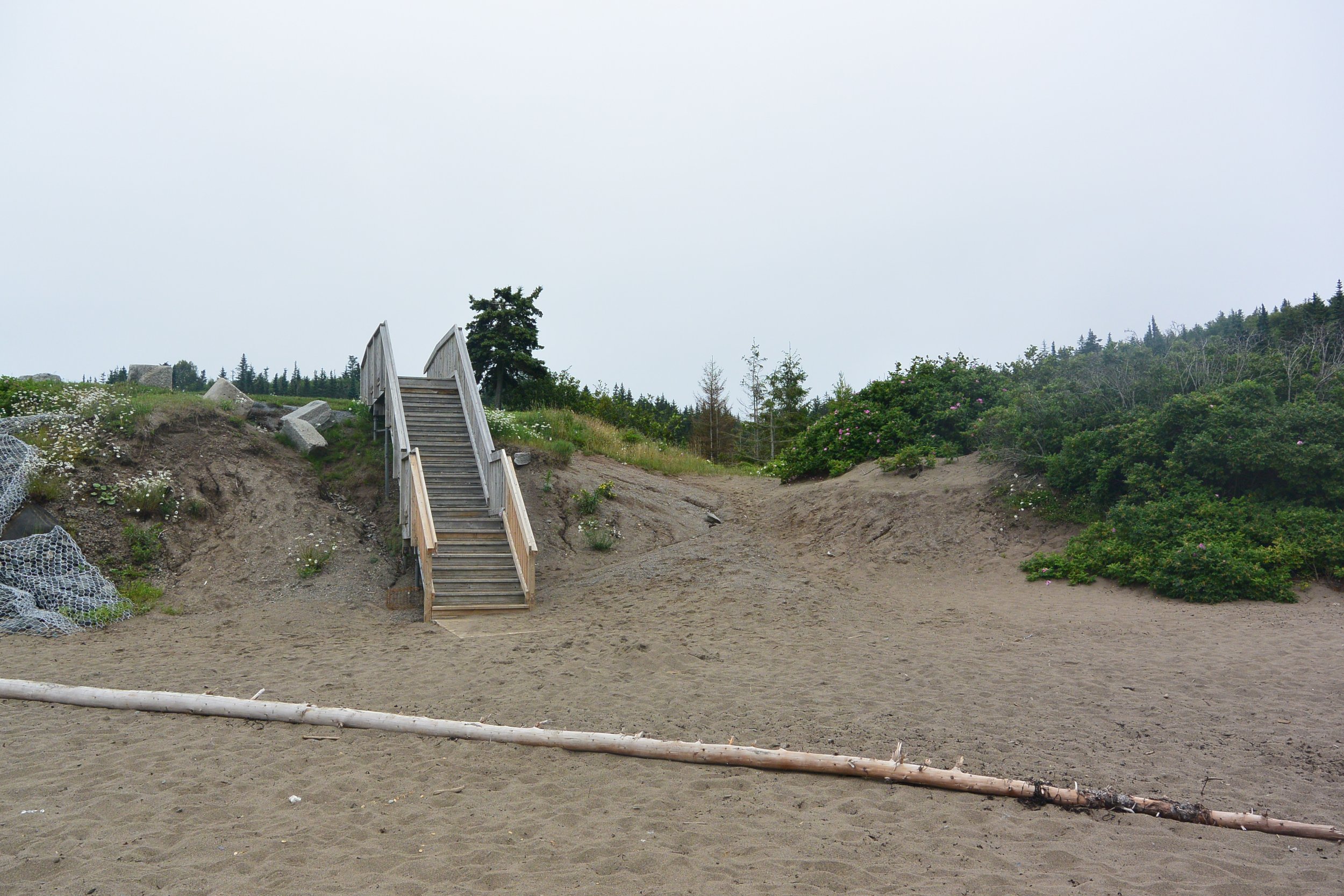
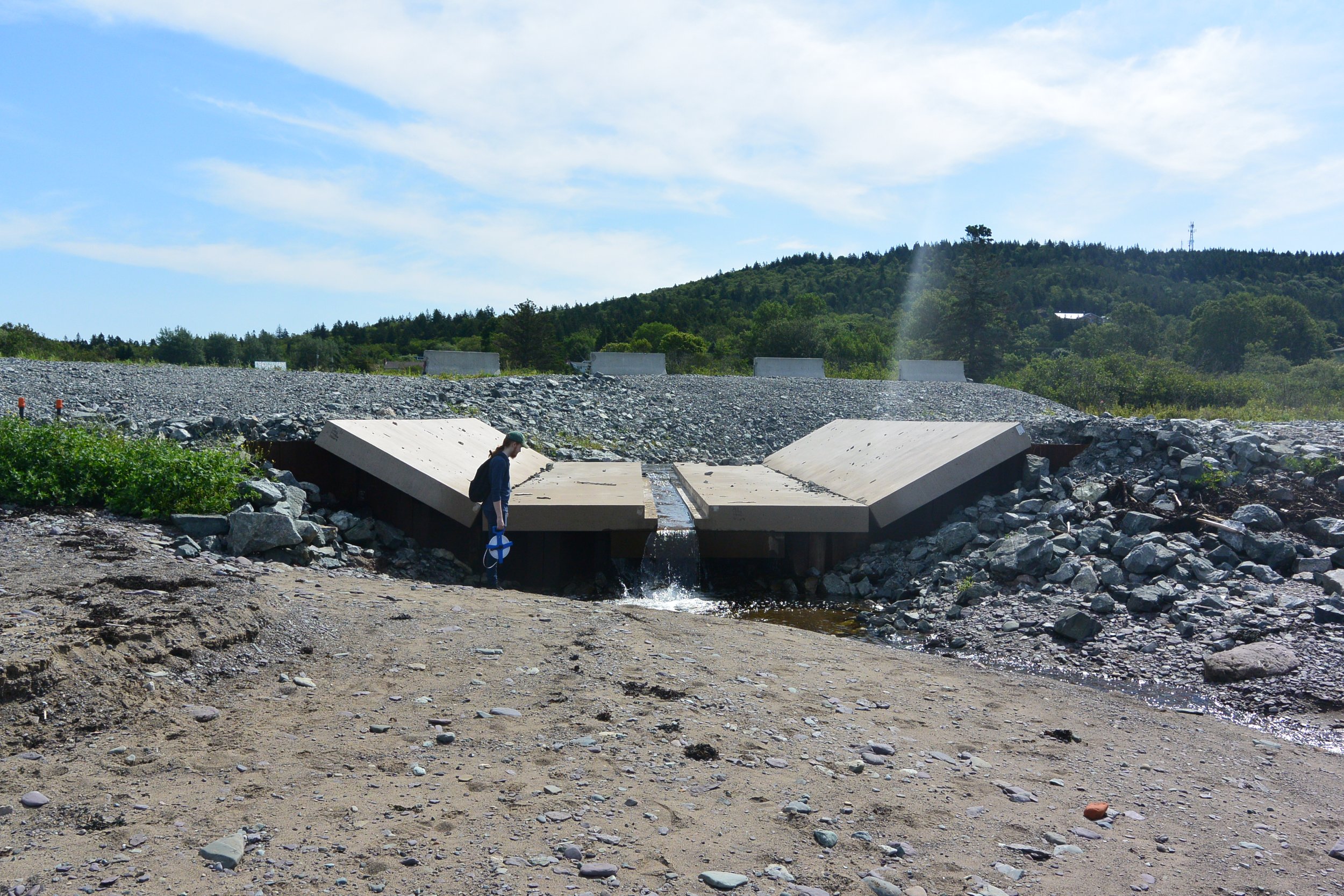
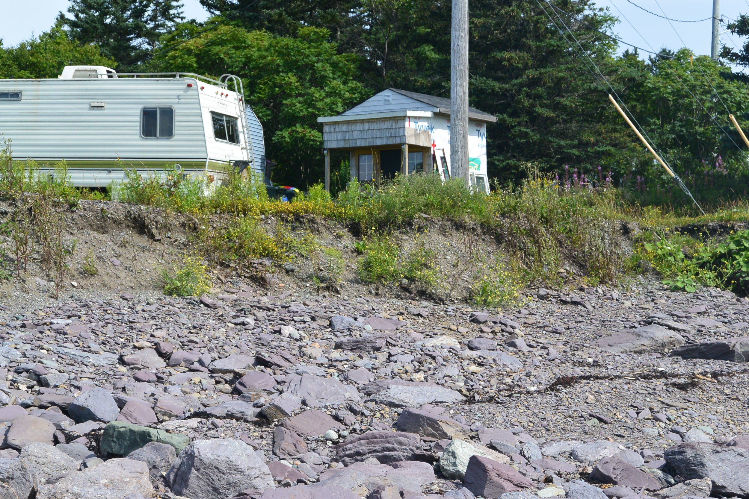
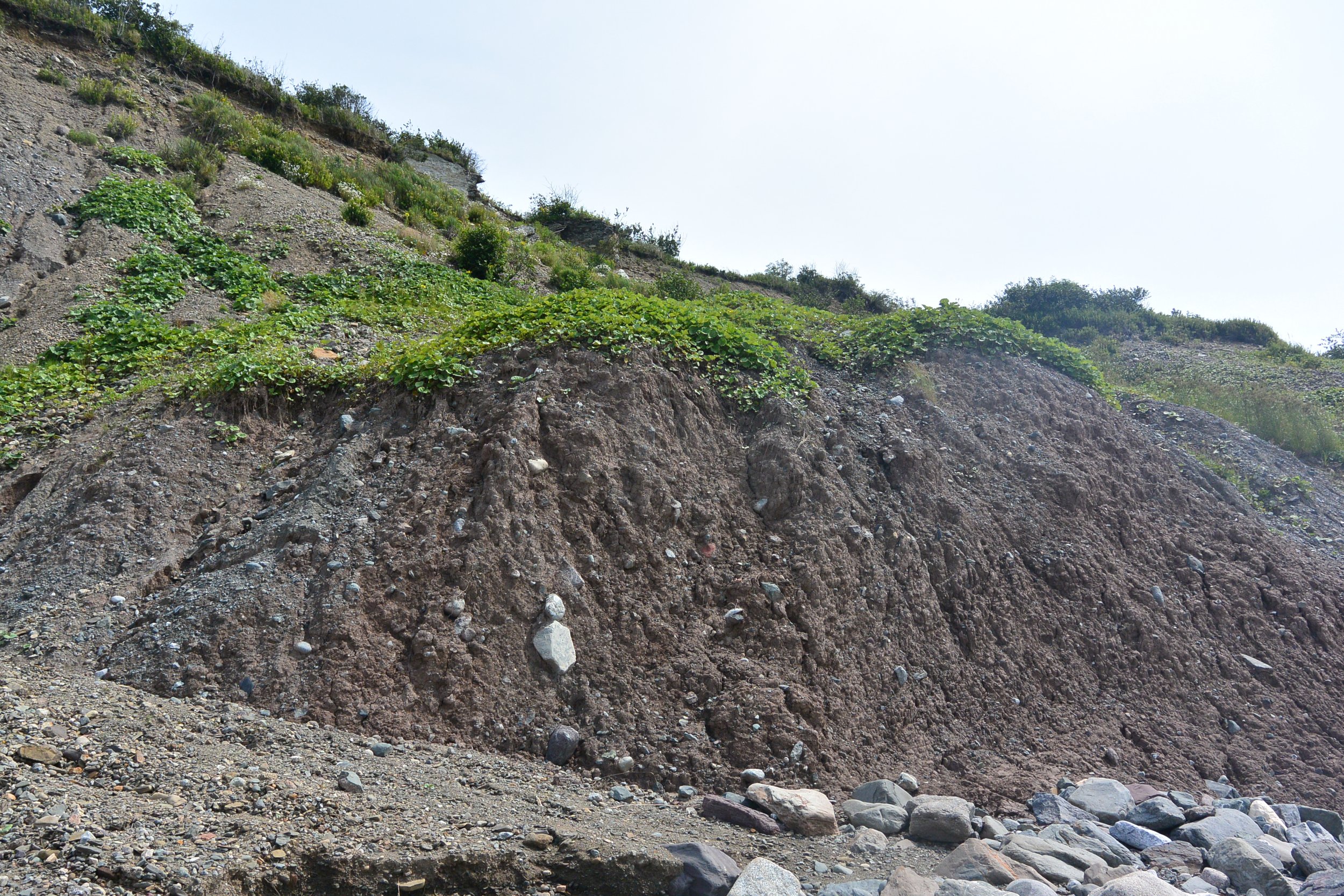

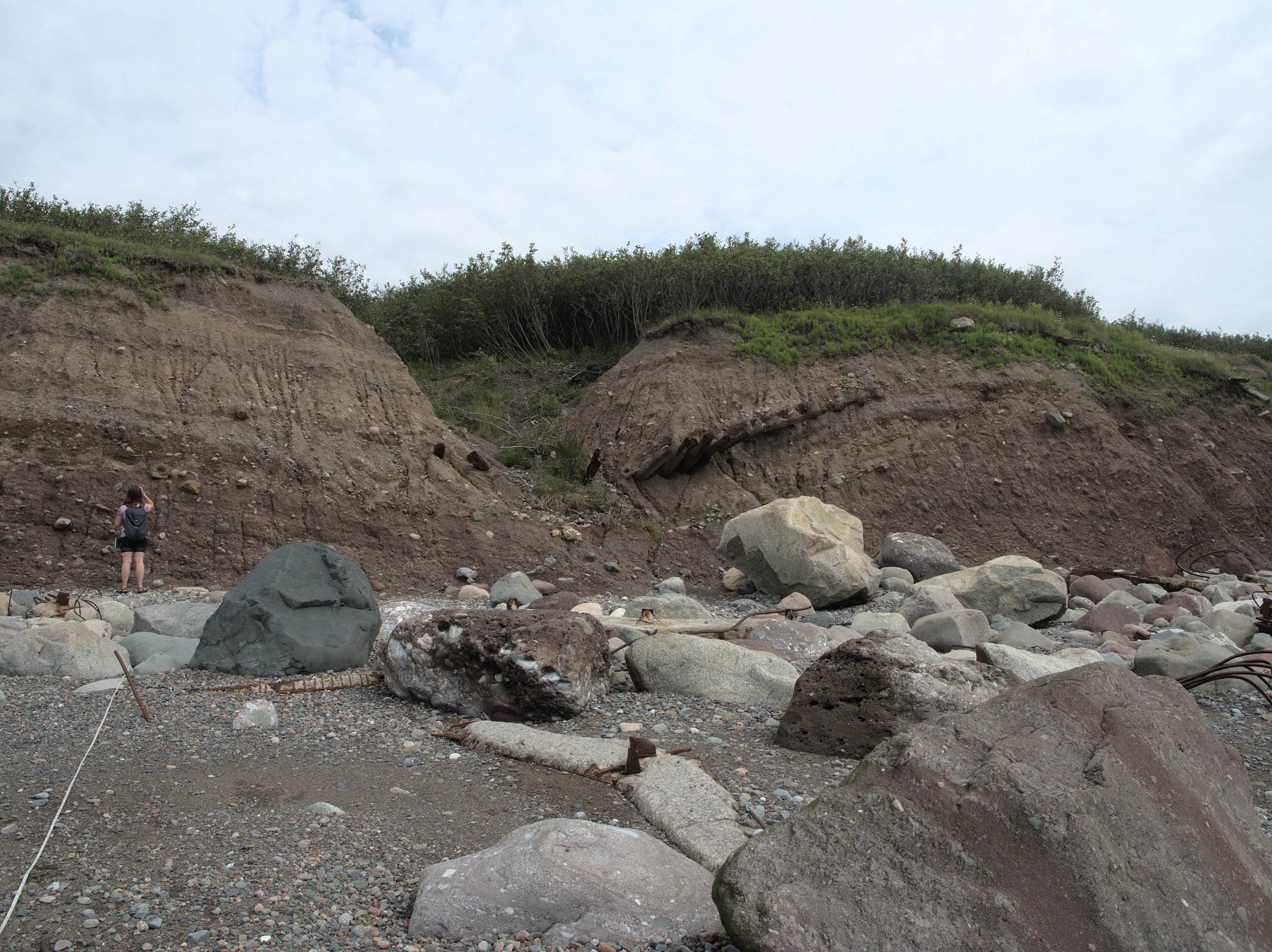
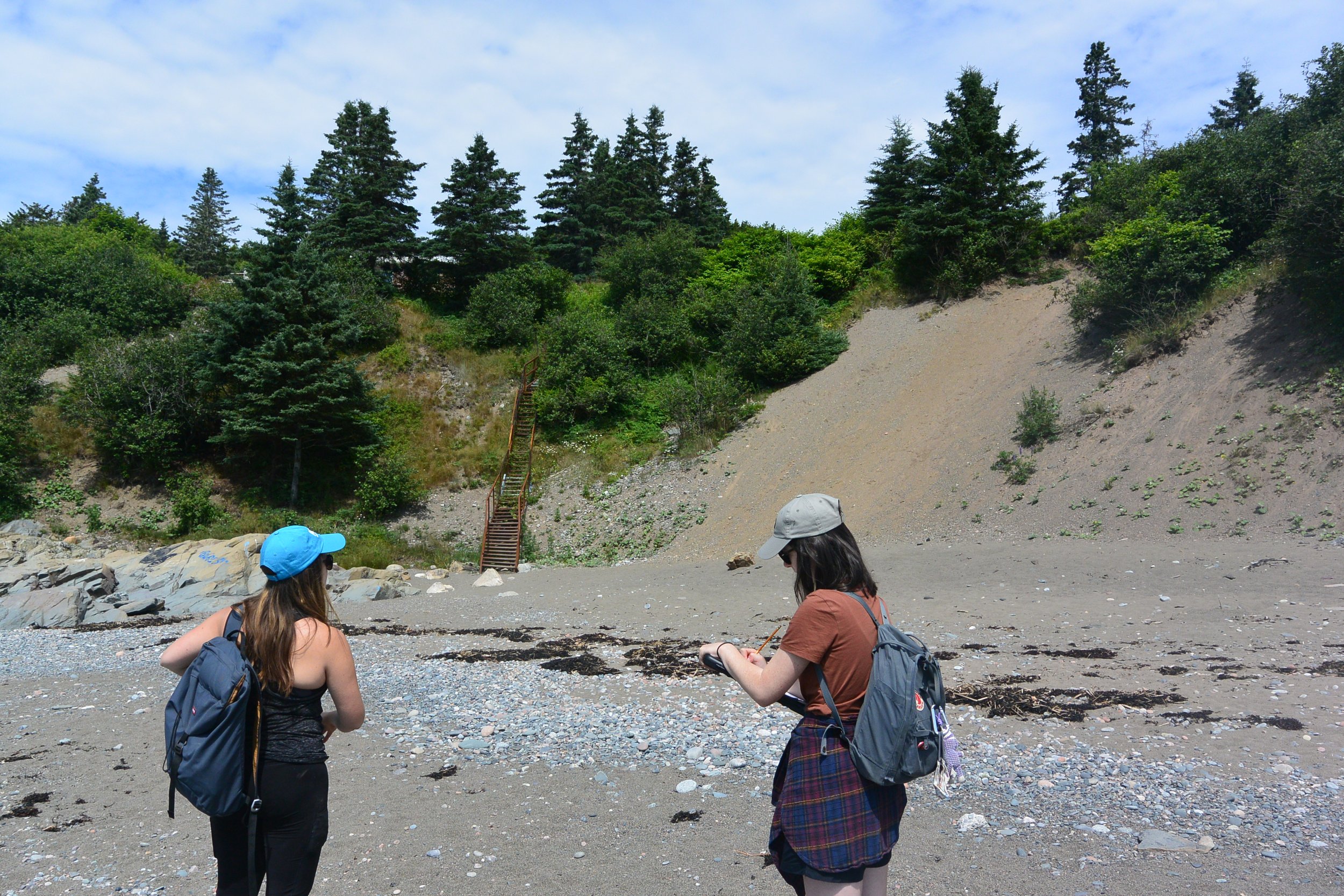
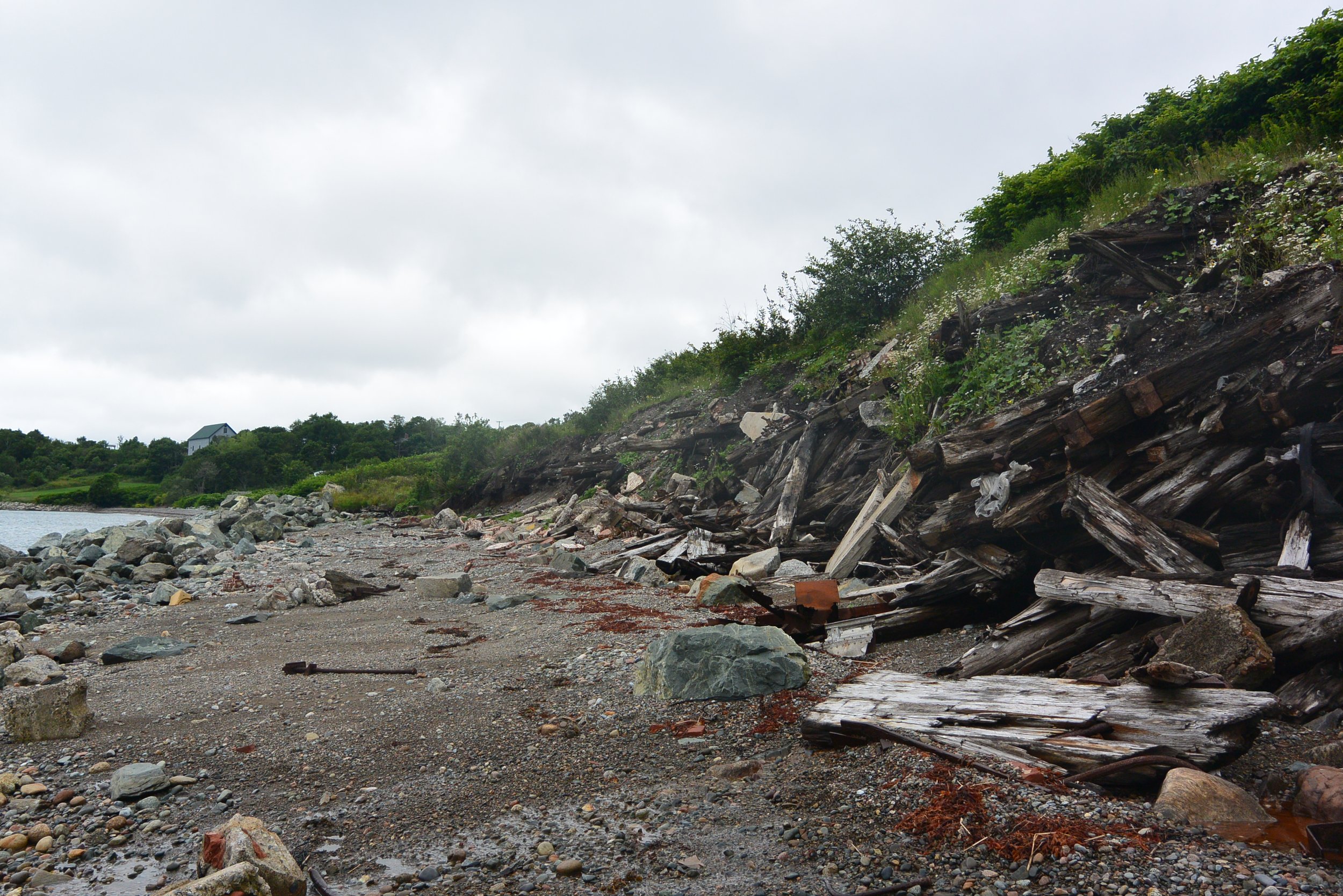
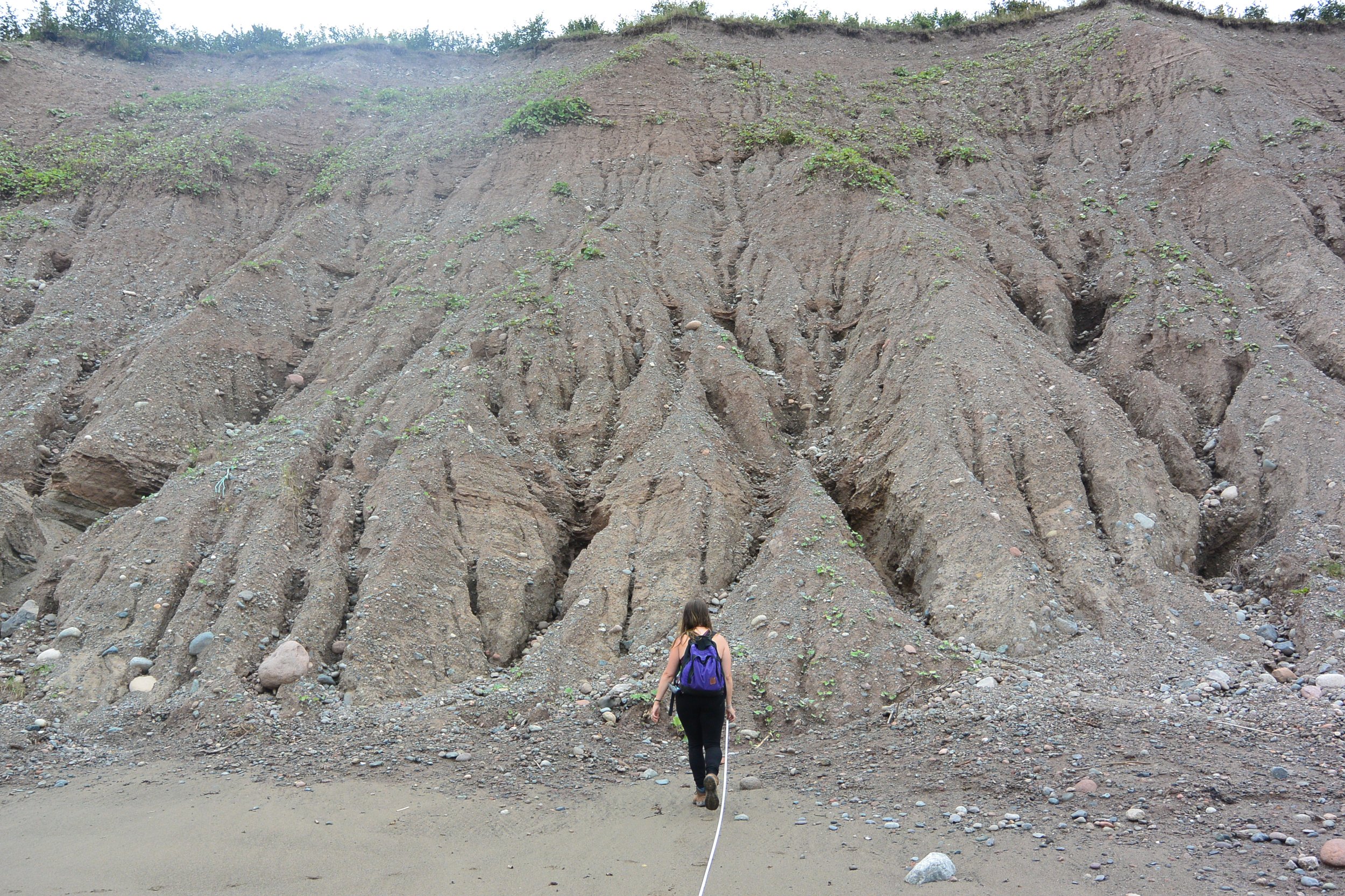
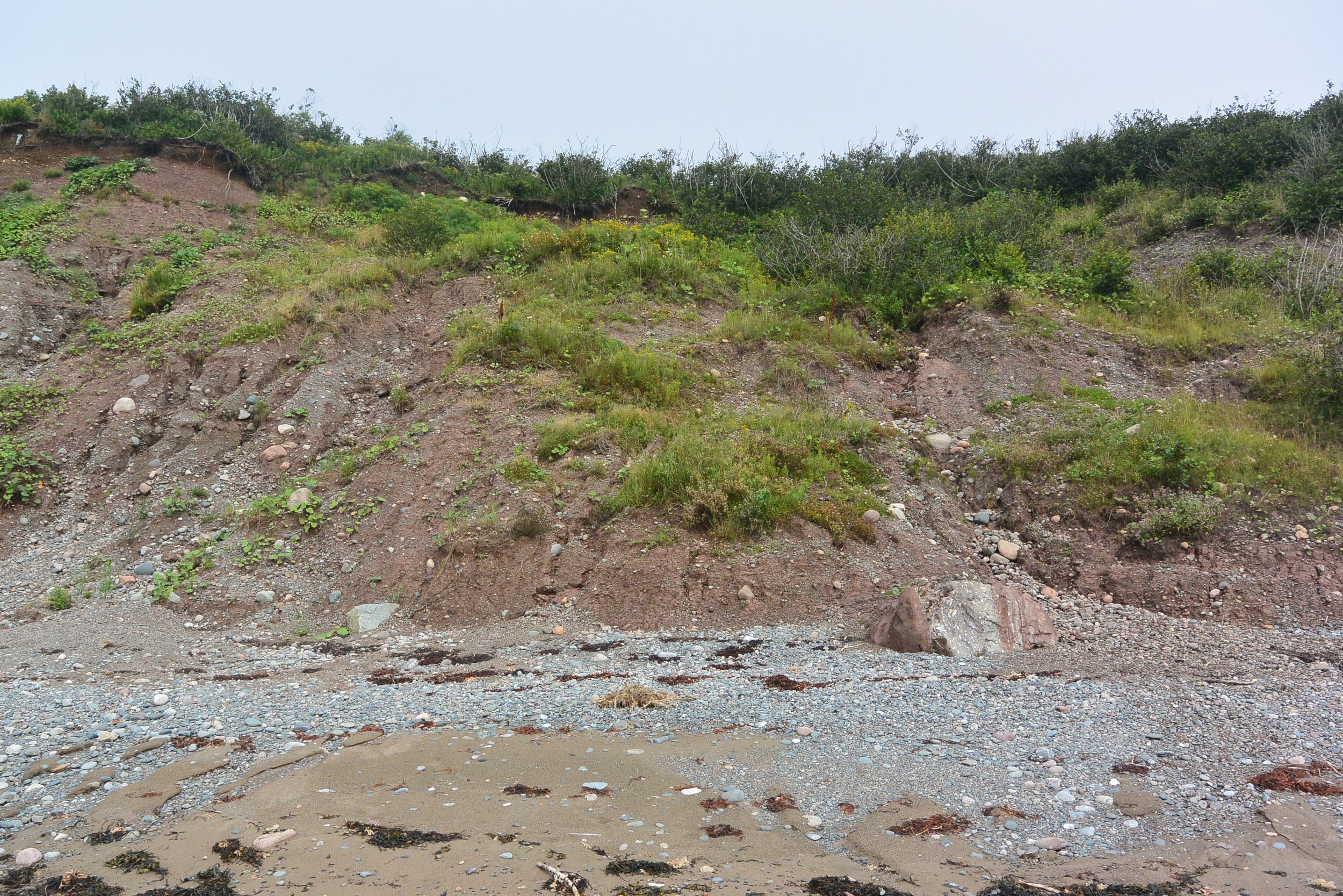
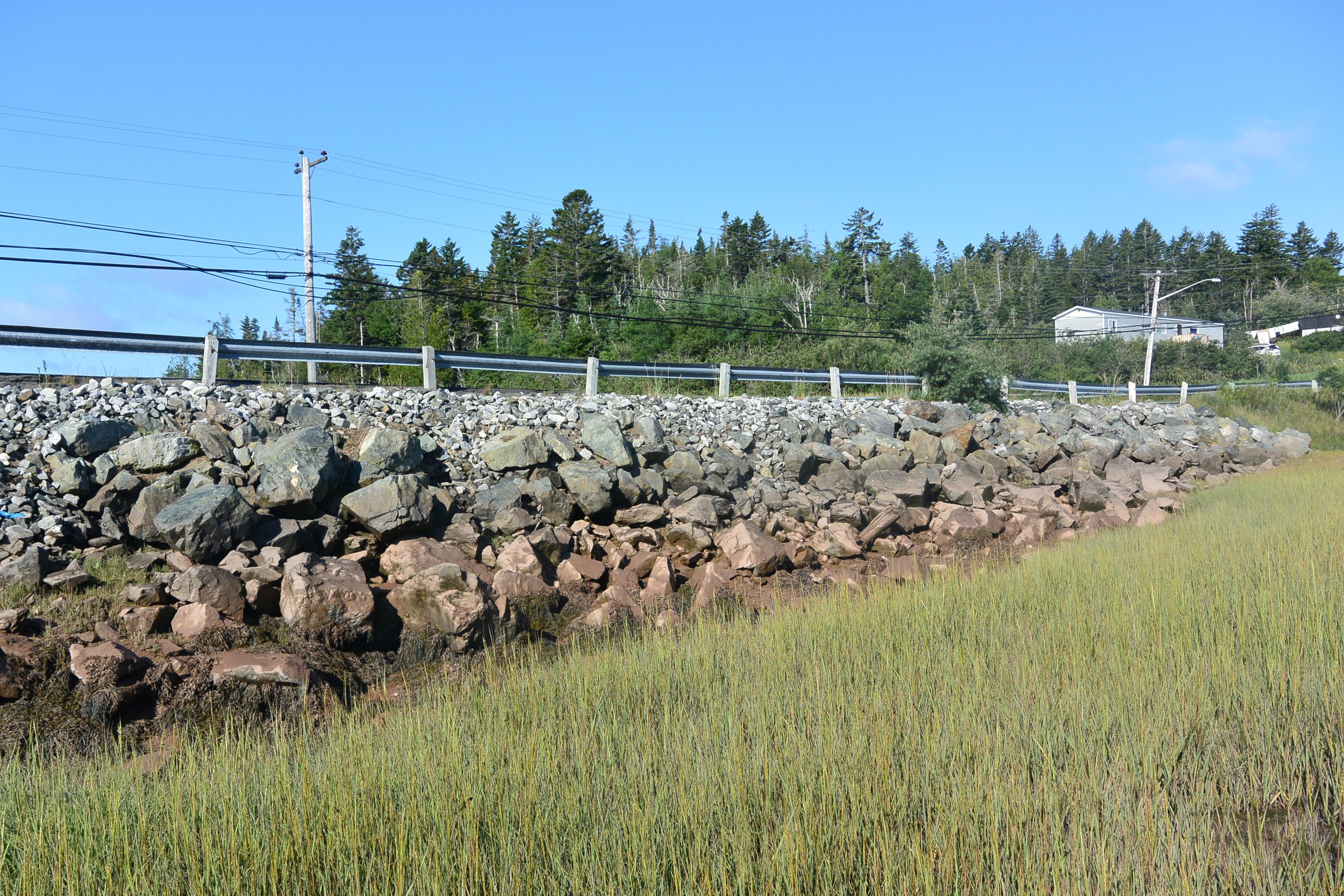
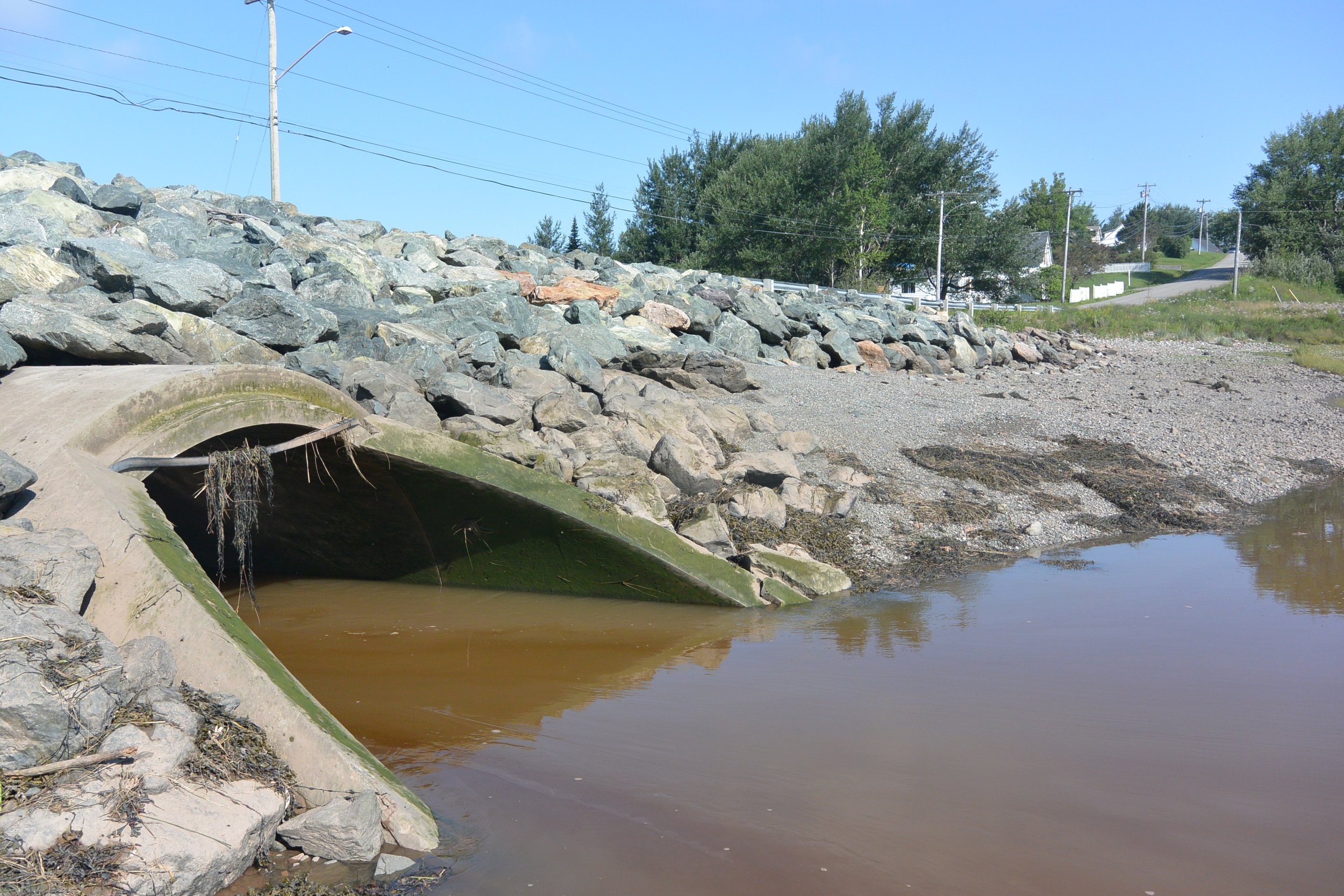
Gallery of images taken during field assessments. Row one left to right: Pedestrian access at Mispec Beach; Anthony’s Cove Bean Brook culvert; Anthony’s Cove Road utility infrastructure at risk; slumped material at Red Head beach. Row two left to right: Residential structure and bedrock at Hazen Creek; damaged infrastructure at Bayshore Beach; Duck Cove beach access; debris at McLarens Beach. Row three left to right: Erosional channels at Sheldon Point; vegetated slumps at Sheldon’s Point; Lorneville Cove 1 riprap along roadway; Lorneville Cove 2 culvert.